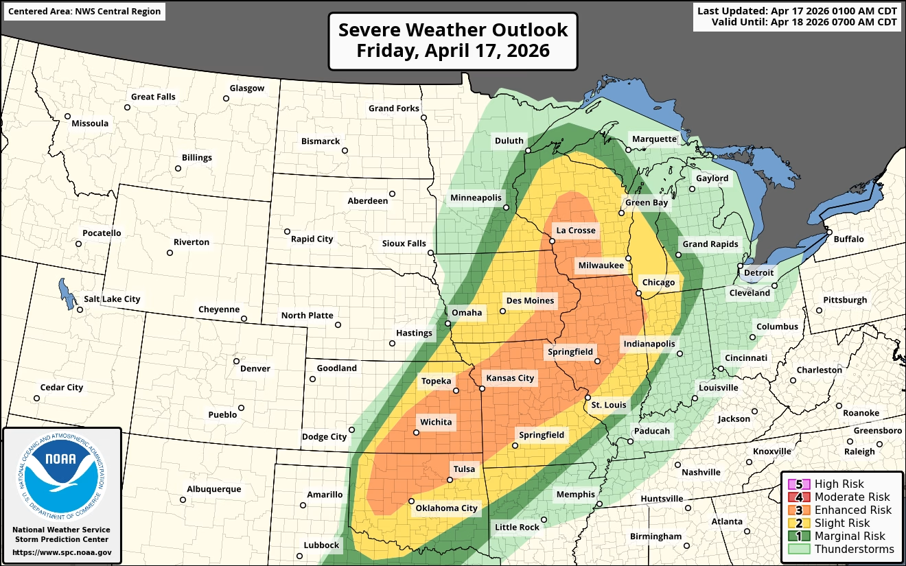
Severe weather is expected to move across Iowa Friday afternoon into the evening as a cold front pushes eastward through the state. Storms are likely to develop between 2 and 4 p.m. near and just east of Interstate 35, then track quickly east through the rest of the evening hours. The main threats with these storms include damaging winds and the potential for tornadoes, with large hail also possible.
In addition to severe storms, parts of the state could see more heavy rainfall. With recent rain already causing rivers and streams to rise, additional rainfall may lead to further increases, with some locations experiencing minor flooding. There is also a low-end risk for flash flooding, especially in urban areas where water can quickly accumulate, leading to ponding on roadways.