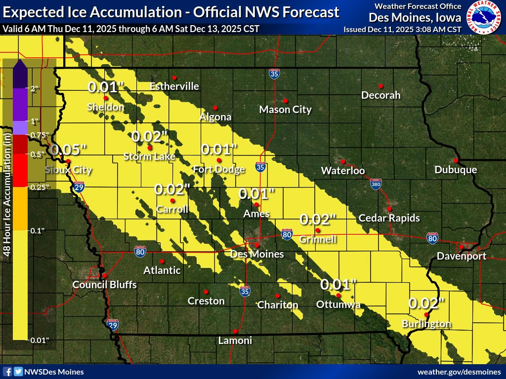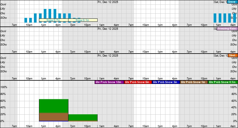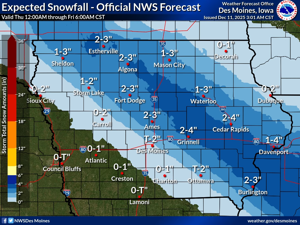
National Weather Service meteorologists in Des Moines are tracking a wintry weather system affecting much of northern, central, and southeast Iowa today. A mix of snow, sleet, and light freezing rain is expected to move into the region late this morning and continue through tonight, bringing slick travel conditions for the afternoon and evening commute.
The most impactful portion of this system will be a band of snow and wintry precipitation that could produce 2–3 inches of snow along with a light glaze of ice in some areas. While amounts will be highest within the advisory zone, nearby locations outside of it may still see minor snow and ice accumulations. Roads, bridges, and overpasses will likely become slippery, especially once temperatures fall below freezing after sunset.


Because of this wintry mix, even light accumulations of snow and ice could impact travel and daily activities, so motorists should plan ahead, slow down, and allow extra time on the roads this afternoon and evening.
Forecasters note that another system bringing additional snow and much colder temperatures is expected this weekend. That upcoming system may bring accumulating snow and dangerously cold wind chills, so continued monitoring of forecasts and alerts is recommended.
For more detailed planning and real-time updates, the National Weather Service recommends checking current forecasts on their site and reviewing winter weather safety information.
https://www.weather.gov/dmx/dsswinter