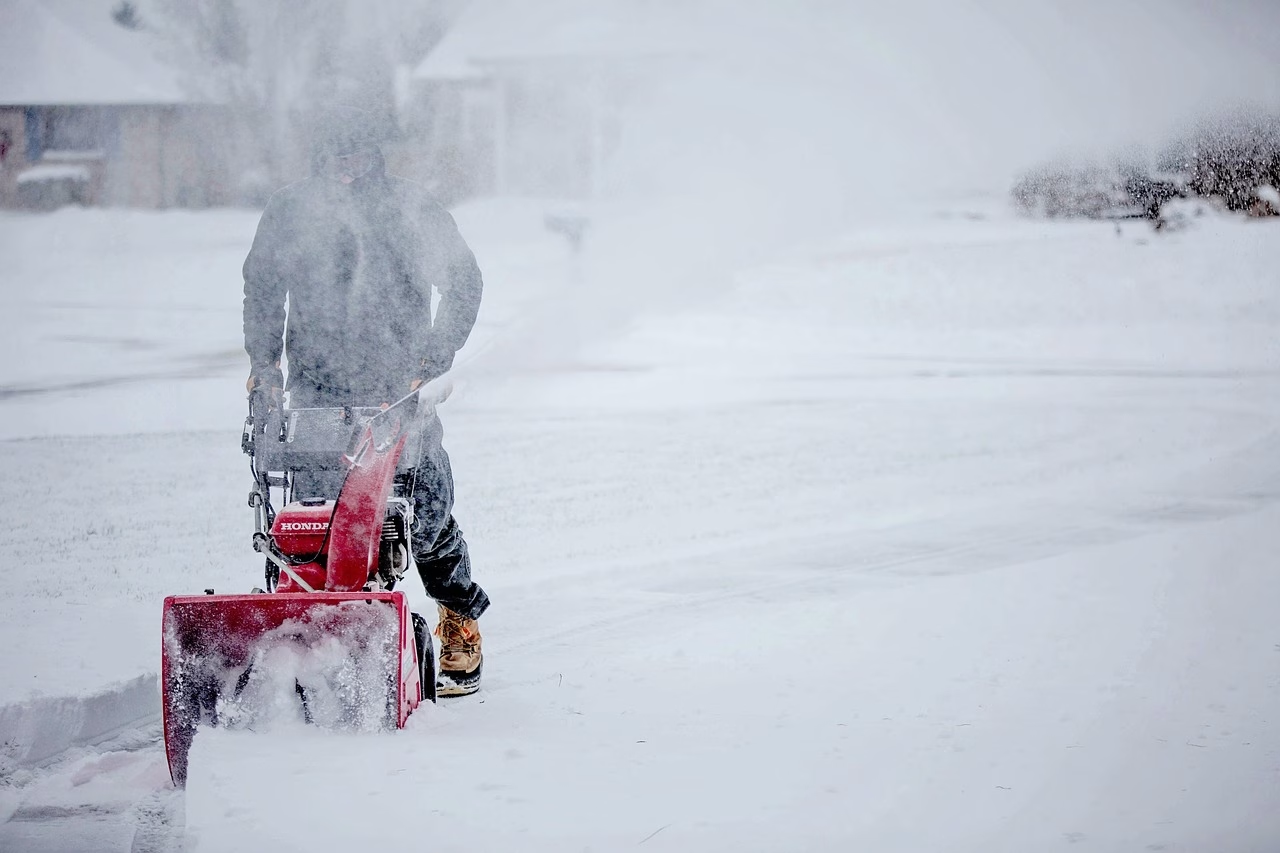
A significant winter system is forecasted to move across Iowa from Friday evening through early Sunday morning, bringing with it the potential for hazardous winter weather conditions. Central Iowa is expected to experience moderate to heavy snowfall, with total snow accumulations ranging between 6 to 14 inches. Additionally, there is a possibility of a light glaze of ice in some areas, particularly in portions of southwest Iowa.
The counties affected by this winter storm include Emmet, Kossuth, Winnebago, Worth, Palo Alto, Hancock, Cerro Gordo, Pocahontas, Humboldt, Wright, Franklin, Butler, Bremer, Sac, Calhoun, Webster, Hamilton, Hardin, Grundy, Black Hawk, Crawford, Carroll, Greene, Boone, Story, Marshall, Tama, Audubon, Guthrie, Dallas, Polk, Jasper, Poweshiek, Cass, Adair, Madison, Warren, Marion, Mahaska, Adams, Union, Clarke, Lucas, Monroe, Wapello, Taylor, Ringgold, Decatur, Wayne, Appanoose, and Davis.


Travel conditions are expected to deteriorate significantly, making travel very difficult to nearly impossible across these regions. The hazardous conditions will likely impact Post-Thanksgiving travel plans, so it is crucial for residents and travelers to stay informed and take necessary precautions.
The winter storm watch is in effect from Friday evening through early Sunday morning for snow, and Saturday morning for ice. Residents are advised to monitor the latest forecasts and prepare for the potential impacts of this winter weather event. It is essential to plan accordingly and consider postponing travel if possible during this time.
Stay safe, and keep an eye on updates as the situation evolves.